The Geography and Map Division, Library of Congress, has put together the Railroad Maps Collection, an amazing collection of more than 600 maps of railroads across the United States.
Compiled by Andrew M. Modelski in 1975, these maps go back through history to showcase the growth of rail travel and settlement across the country, as well as the development of industry and agriculture.
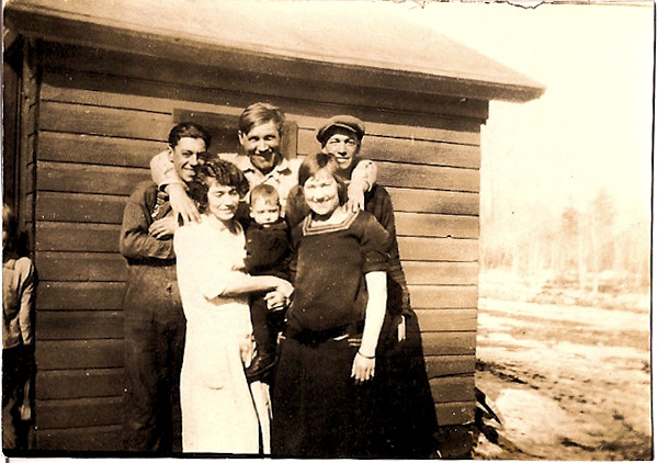
My family on all sides were influenced by the rail lines, traveling by rail for work, travel, migration, and business. On my maternal side, my grandparents’ families united in Taylor Rapids, Wisconsin, the end of a rail line that served the logging industry, hauling fresh cut logs out to the rest of Wisconsin and the world for use in buildings and paper products. One of my family members in the DesRochers family just retired from the railroad system in the Pacific Northwest of the United States, carrying on the family railroad tradition of ties to the rails.
Here are some other historical map collections worth investigating in the United States.
- Google Earth
- Historical maps on Google Earth
- Civil War Maps – (American Memory from the Library of Congress)
- Panoramic Maps Collection, Library of Congress
- US Historical Topographic Maps – HSU Library
- Cyndi's List – Maps, Gazetteers & Geographical Information
- David Rumsey Historical Map Collection | The Collection
- Google Directory -Reference > Maps > Historical
- Historic Map Works, Residential Genealogy
- Historical Transportation Maps for Ohio and beyond
- Google Earth – Using Image Overlays
- Google Earth in 4D | ZDNet
Most Recent Articles by Lorelle VanFossen
- The Myths and Mysteries and Hunt for Nicholas Knapp
- The Perpetual Calendar
- GenSmarts: Reminder to Not Assume
- Gensmarts Saves Your Family History Research Life
- Digging Through Historical Newspapers Online